
Destinations & itineraries · 03 Jun 2026 · 9 min read
Trou de l’Enfer on Groix: the wild rift to explore from the coastal path
The Trou de l’Enfer is a natural rift carved into the cliff of Groix island, in the Morbihan. The sea surges into it with a roar at every wave, producing a distinctive sound that has fed local legends for generations. This wild site is reached from Port-Tudy via the waymarked coastal path, in about 45 […]
The Trou de l’Enfer is a natural rift carved into the cliff of Groix island, in the Morbihan. The sea surges into it with a roar at every wave, producing a distinctive sound that has fed local legends for generations. This wild site is reached from Port-Tudy via the waymarked coastal path, in about 45 minutes of walking. From the water, aboard a catamaran sailing along the island’s western coast, the silhouette of the rift and the sheer drop of the cliffs make up one of the most striking panoramas on the Breton coast.
What is the Trou de l’Enfer on Groix island?
The Trou de l’Enfer is a sea cave carved into a rift in the cliff, along the wild coast of Groix island, in the Morbihan. It sits between the Pointe de l’Enfer and Port Saint-Nicolas, fully exposed to the west and the Atlantic. It is not a rock arch: it is a vertical fissure in the rock, open at its base onto the sea, which the waves enter at every tide. The swell builds inside it into a deep roar that can be heard from the path above, and that grows in power during the autumn and winter storms.
Groix island offers an exceptional geological setting that explains the singularity of this landform. The rock is made of blueschist - a geological formation that is rare at this latitude - whose exposed cliffs have been sculpted by millennia of marine erosion. The François Le Bail national nature reserve, created in 1982 and managed by Bretagne Vivante, protects this mineralogical heritage that is unique in France: around 60 minerals have been described here, including blue glaucophane, red garnet and yellow epidote, found in the island’s rocks and on its beaches.
The legend of the sea monster of the Trou de l’Enfer
The oral tradition of Groix long peopled this cave with a fearsome creature. According to the stories passed down from generation to generation on the island, a sea monster with a man’s head - a triton whose moon-shaped face was pierced with bloodshot eyes - is said to have made its home in the rift. It was credited with nocturnal revels inside the cave and the power to cause shipwrecks along this exposed coast. A similar being is associated with the Pointe des Poulains on Belle-Île, a few miles to the south.
These ancestral fears were not born of folklore alone: they describe the maritime reality of this coast. Boats passing offshore from the Trou de l’Enfer heard that roar and saw the spray burst from the cliffs without understanding its origin. From the deck of a catamaran sailing along the western coast in a rising sea, the scene remains impressive - the water vanishes into the rock, the air compresses, the sound resonates.
How do you reach the Trou de l’Enfer from Port-Tudy?
The Trou de l’Enfer is reached from Port-Tudy via the waymarked coastal path, about 2.5 km from the harbour, roughly 45 minutes of walking. Port-Tudy is the island’s only landing point and the natural starting point for every walking route.
The main itinerary follows the coastal path waymarked in yellow by Lorient Agglomération, listed in the Morbihan departmental plan of walking and hiking routes. The recommended loop from the Parking des Halles (Route de Port Mélite, at the route information point) measures 8.41 km with a positive elevation gain of only 32 m. The average duration is 2h30, with a difficulty rated easy. For hikers wishing to explore the whole coast, a full large loop of 21.5 km is possible, but it takes a full day.
What precautions should you take on the Groix coastal path?
Hiking shoes are essential: the terrain is rocky, uneven and the coastal sections are exposed to the wind. You should also bring water and a snack - shops are scarce along the route. One specific precaution applies as of spring 2025: the coastal path of PEN er LANN between Kermoël and Porh Skedoul was closed by municipal order of 26 March 2025 following a cliff collapse. The closure is in force “until further notice”. Before setting off, it is recommended to check the state of the paths directly with the Groix town hall (groix.fr), as the condition of the cliffs can change depending on weather conditions. The Trou de l’Enfer site itself remains accessible - the closure concerns another section of the coastal network. The cave is more impressive at low or mid tide, when the entrance of the rift is clearly visible from the path above.
What else is there to see around the Trou de l’Enfer?
The Trou de l’Enfer fits into a route that lets you discover several natural and heritage sites on the island in a single outing. The path runs alongside a succession of notable points that hikers can reach without any significant detour.
About 4.5 km from the start, Port Saint-Nicolas is a natural harbour nestled in a valley ringed by cliffs, reachable via the coastal path. Further on, the Fontenar washhouse shelters a population of the Mercury bluet, a protected damselfly listed under the European Natura 2000 directive. The Clavezic menhir, erected in the Neolithic, stands 5.80 m tall - one of the best-preserved megaliths of the Morbihan islands. In the village of Groix, the Saint-Tudy church (built in the 17th and 19th centuries) bears a tuna-shaped weather vane, a symbol of the island’s tuna-fishing history, and the Trinity chapel, built in 1892 and consecrated in 1894 in a neo-Gothic style, is worth the detour.
How do you get to Groix island from Lorient?
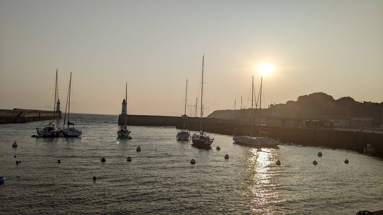
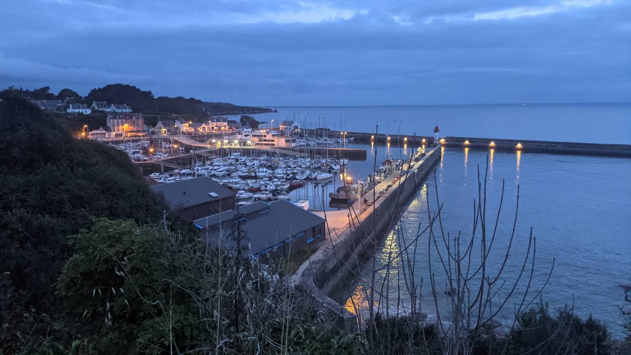
Groix island can be reached only by boat from Lorient. The crossing takes about 45 minutes and arrives directly at Port-Tudy, the starting point of the coastal path.
The Compagnie Océane (BreizhGo network) runs daily crossings all year round from the Lorient ferry terminal. The 2026 fares for a passenger return are 37.80 € for an adult (26 and over) in low season and 41 € in high season. Young people aged 18 to 25 benefit from a fare of 27.80 € and children aged 4 to 17 from 22.60 €. These fares are those of the Compagnie Océane (oceane.breizhgo.bzh) and should be checked before booking, as the fare grids can change with the seasons.
Lorient is about 35 km from the port of Kernevel, in Larmor-Plage. For sailors mooring in Brittany, catamaran cruises departing from the port of Kernevel make it possible to sail along the coast of Groix and approach the cliffs of the Trou de l’Enfer from the sea, before or after exploring the island on foot. The Sailoe Brittany destination page presents the coastal routes and the moorings available in this area. Renting a bicycle at Port-Tudy remains the most convenient option for exploring the island beyond the hiking perimeter.
Which other natural sites should you pair with the Trou de l’Enfer on Groix?
To complement the Trou de l’Enfer, Groix island offers several exceptional natural sites that deserve a full day or a two-day stay.
The Grands Sables, on the eastern coast of the island near Locmaria, form one of the only convex beaches in Europe - a rare geomorphological curiosity on a global scale. The sand does not gather in the concavity of a bay but on the convex side of a headland, which gives it its characteristic bulging shape. The Pen-Men lighthouse, in operation since 1839, marks the western tip of the island: it overlooks a wild heath and waters that turn turquoise in clear weather. The Pointe des Chats, at the south-eastern tip, offers a view of the Sables Rouges, whose ferrous hues stand out against the blue of the Atlantic.
The François Le Bail national nature reserve covers two distinct sectors (Pen Men-Beg Melen and Locqueltas-Pointe des Chats) and makes Groix a reference site for ornithologists and geologists from all over France. The roughly 60 minerals catalogued by scientists make it one of the richest geological reserves on the French Atlantic arc.
From the sea, sailing along the western coast aboard a catamaran, the silhouette of the Trou de l’Enfer and the sheer faces of Pen-Men form a striking panorama: the same coastal outline that hikers admire from the path, seen in mirror image from the waters of the Morbihan. This angle, accessible only from the water, is one of the reasons that make Groix a destination in its own right for crews sailing in southern Brittany.
Frequently asked questions about the Trou de l’Enfer on Groix
What is the legend attached to the Trou de l’Enfer on Groix?
The oral tradition of Groix describes a sea monster with a man’s head that is said to have made its home in the cave. This triton, whose moon-shaped face was pierced with bloodshot eyes, was reputed to hold revels in this place and to cause shipwrecks along the coast. This legend has crossed the generations on the island, fed by the powerful sound and sight of the rift.
What is the unique stone found on Groix island?
Groix island is home to several rare minerals: blue glaucophane, red garnet and yellow epidote. These minerals colour the island’s rocks and beaches. The François Le Bail national nature reserve, created in 1982 and managed by Bretagne Vivante, protects this geological heritage that is unique in France, with around 60 minerals described to date.
Can you go down into the Trou de l’Enfer?
No. The Trou de l’Enfer is observed from the coastal path above, overlooking the cliffs. Access at sea level is impossible from this spot. The sea surges in through the base of the rift, and the terrain allows no safe descent from the path.
Is the hike to the Trou de l’Enfer difficult?
The hike is rated easy. The main loop from the Parking des Halles measures 8.41 km with a positive elevation gain of only 32 m. The average duration is 2h30. The paths are waymarked in yellow. You should nonetheless plan for good hiking shoes: the terrain is rocky and the coastal sections are exposed to the wind.
When is the best time to visit the Trou de l’Enfer?
The site is accessible all year round. The rift is more impressive in rough seas, when the swell amplifies the sounds inside the cave. Spring and summer - from May to September - offer the best conditions for hiking. A low or mid tide makes it possible to appreciate the rift from the path above, when the entrance of the cave is clearly exposed.
Read also · Destinations & itineraries
Related articles
The Bay of Les Saintes, Seen From a Catamaran That Stays the Night
The Bay of Les Saintes, south of Guadeloupe between Terre-de-Haut and Terre-de-Bas, is usually visited in three hours, squeezed between two shuttle…
Where to Dive in the Seychelles on a Catamaran Cruise?
From a catamaran at anchor, scuba diving in the Seychelles is possible at dozens of sites around Mahe, Praslin and La Digue,…
Wingfoiling in the Seychelles: spots, winds and best season
The Seychelles offer an ideal window for wingfoiling from June to September, driven by the south-east trade winds that blow between 15…
Got a project in mind?
Our team is here to help
30 years of expertise, 5 physical bases, our own fleet. We reply within 24h.
Start the conversation